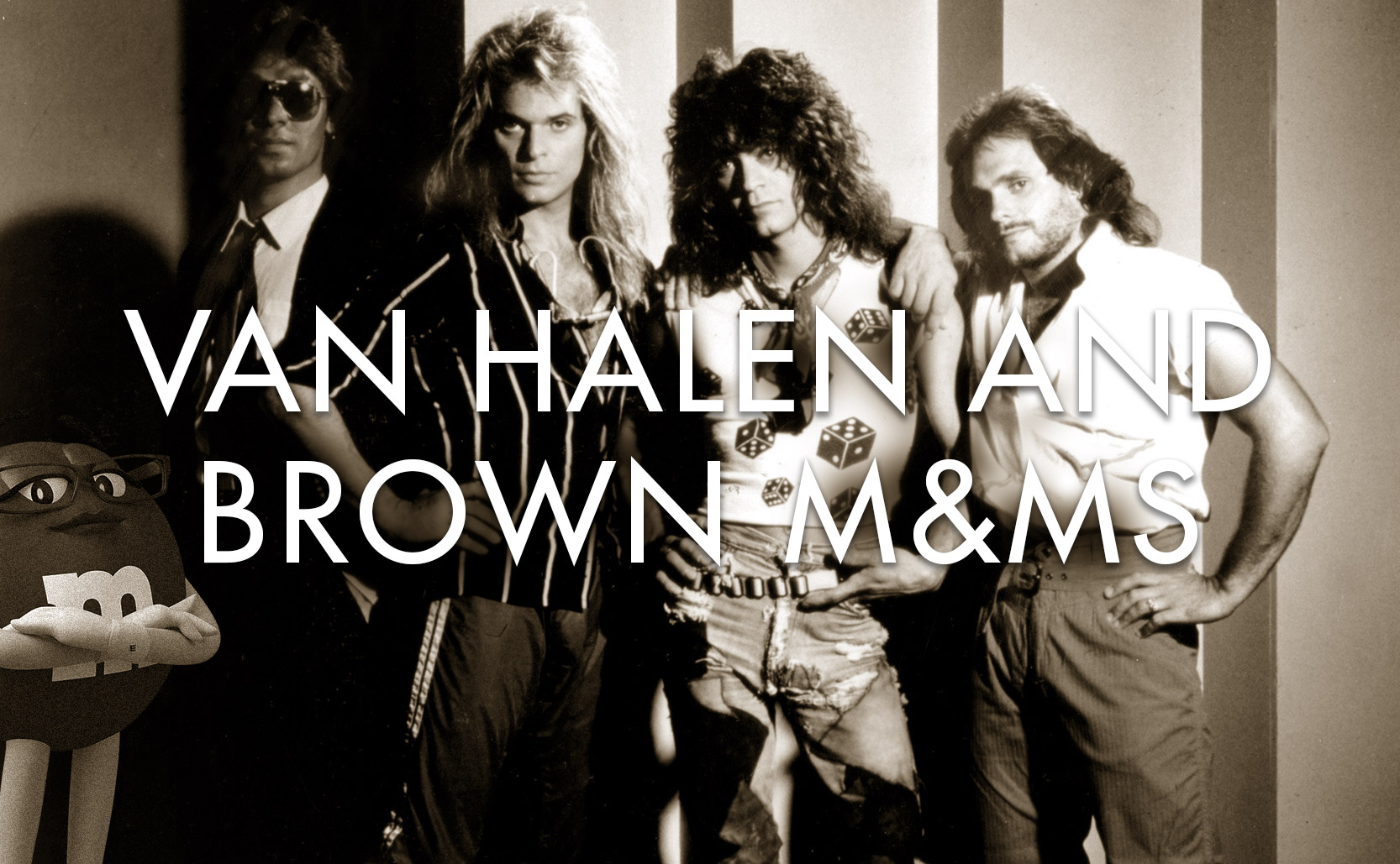
Van Halen and Brown M&Ms
Instead of being a story of rock hubris, Van Halen’s no brown M&Ms clause was a clever indicator of potential danger.
One of the most famous stories of Van Halen is that, backstage at each concert, they required M&Ms to be provided but there were to be no brown M&Ms. This has become the stuff of legend, of 1980s rock & roll hubris, rock excess, a band at their most demanding exercising their clout – and as David Lee Roth has said why get in the way of a good rumor. Publicity is publicity.
The truth, according to the band, is that the “no brown M&Ms” clause served as an easily checked indicator as to whether or not the rest of the contract instructions had been followed. The contract Van Halen would give to a concert promoter not only included what the band required for themselves but also detailed requirements & instructions on how to assemble their stage show.
At the time Van Halen was one of the biggest bands in the world, traveling with nine eighteen-wheeler trucks of equipment (where most popular bands only had two or three). All of that equipment had technical requirements that, if not assembled correctly, could lead to serious physical harm. Seeing brown M&Ms was a warning that the concert promoter hadn’t paid attention to all of their instructions and that, if they missed the line about M&Ms, what else had they missed?
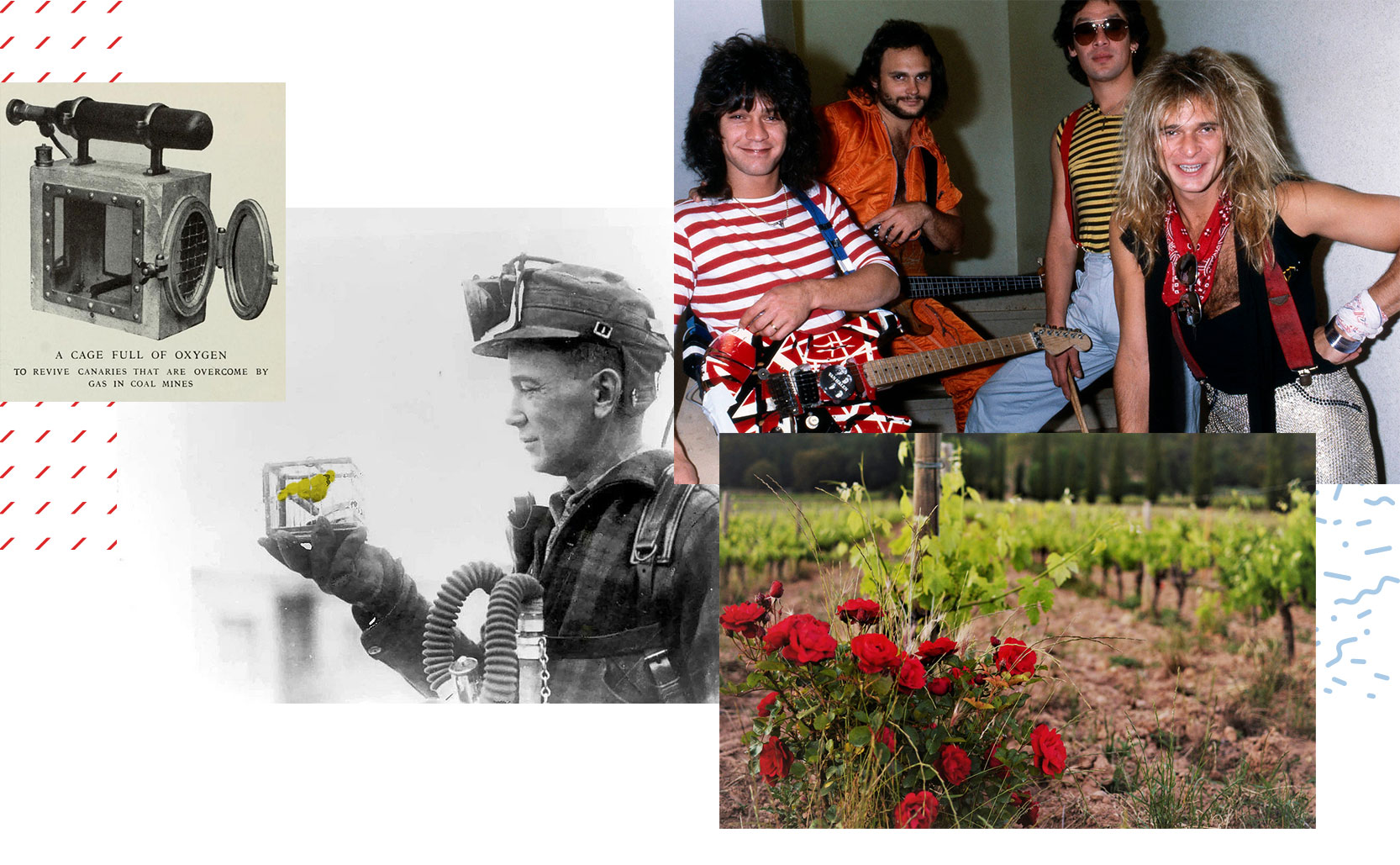
Sentinel species
For Van Halen it was never about the brown M&Ms – the M&Ms were a warning sign of potential danger. In a similar fashion, sentinel species are plants & animals used as indicators of danger. The most famous example is the canary in the coal mine. Canaries are more susceptible to the toxic gasses of a mine than humans are. A sick (or dead) canary in its cage was an indicator to get out of the mine. Also canaries were used in mines for a shockingly long time – December of 1986 is when Britain finally outlawed the practice.
Roses are frequently planted in vineyards at the ends of rows of grapes because roses & grapes are both susceptible to powdery mildew and roses can serve as an early warning sign. If vintners see powdery mildew on the roses they know to treat the grapes. An added bonus is the roses (when healthy) look nice.
Other sentinel species aren’t so much employed by humans but are observed in the wild. If the birds, oysters, bald eagles, worms, etc aren’t thriving in their ecosystem then we know there are environmental problems in the area.
Added info: It should be said that as fun/clever as the Van Halen “no brown M&Ms” story is, parts of it are perhaps not as clever as it would seem. Once promoters learned of the “no brown M&Ms” trap they would make sure they at least complied with that while perhaps still not reading the rest of the contract in detail. Further, the venue employees handling the food were probably not the same ones rigging the lights. So even if the catering had been handled correctly it didn’t necessarily mean everything else had.