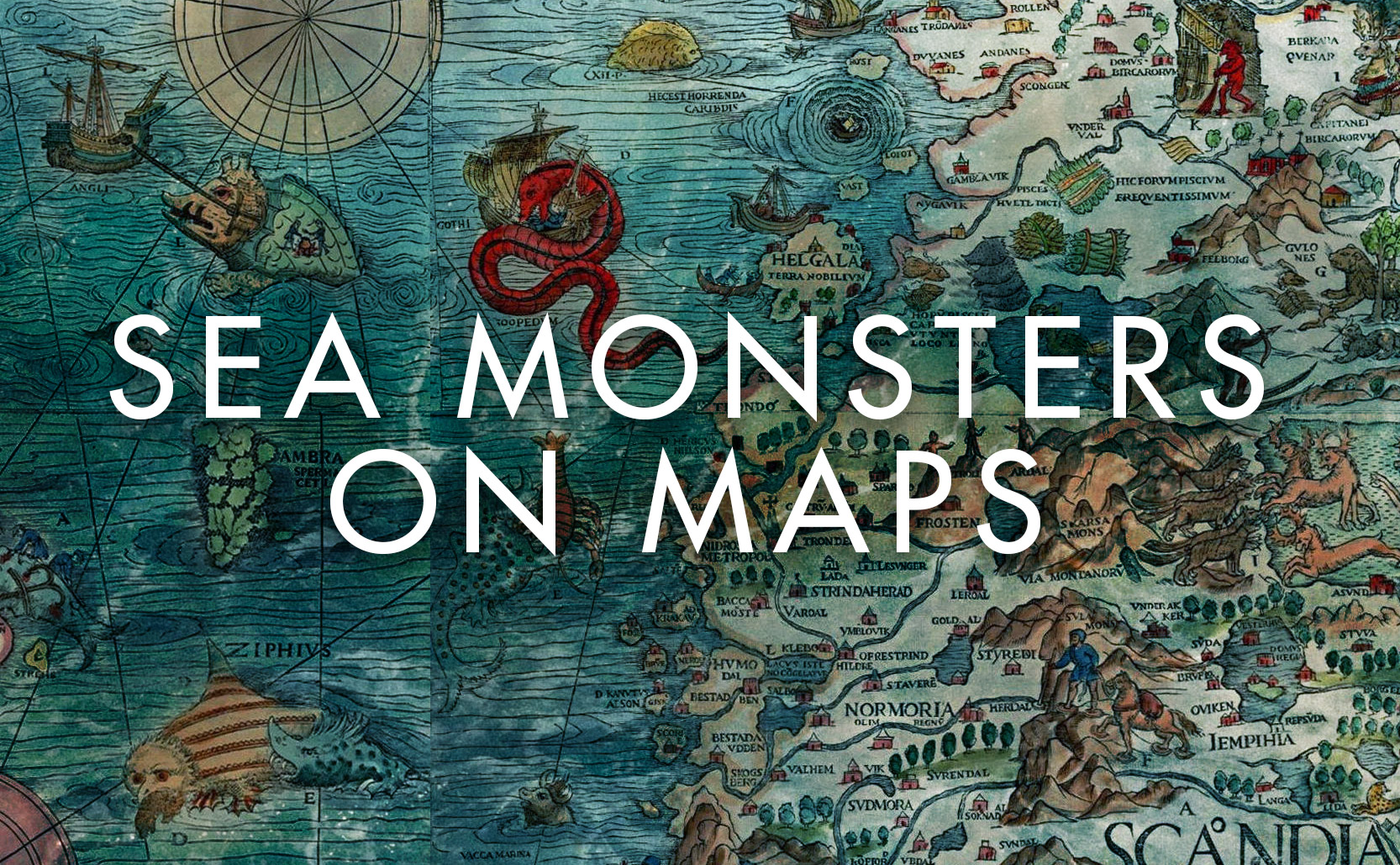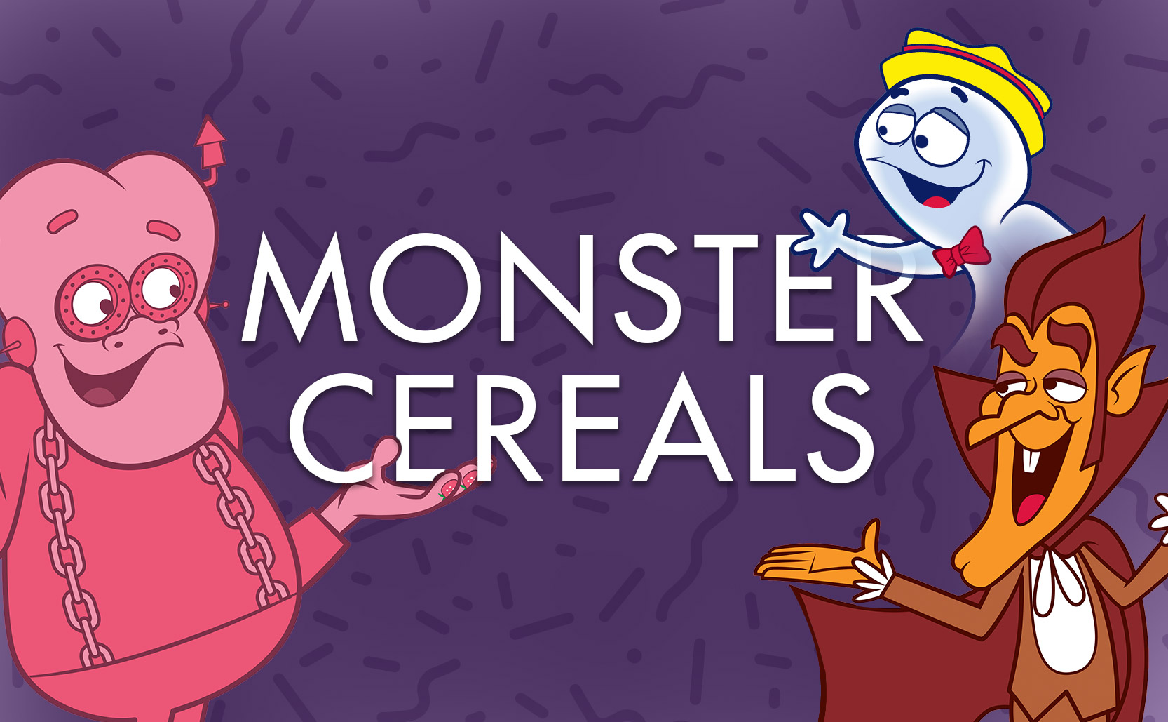
Monster Cereals
The seasonal cereal Halloween treat.
Autumn brings seasonal foods – pumpkin spice lattes, pumpkin beer, apple cider, and monster cereals. Created in 1971 by General Mills, monster cereals are a line of sugary cereals with cartoon mascots based on classic Universal Monsters.
Cereal mascots as we know them began in 1933 with the Rice Krispies characters of Snap, Crackle and Pop. After WWII with televised commercials cereal mascots became animated, increasing the competition for attention & dollars. In the late 1960s General Mills had new flavoring ideas and was in search of a marketing strategy that would appeal to kids. They had a chocolate and a strawberry flavoring that, when added to milk, would flavor the milk like chocolate or strawberry. What they needed were mascots to sell the cereal.
Laura Levine of the ad agency Dancer Fitzgerald Sample, who had been hired to help sell these new cereals, had the inspired idea of using monsters. Introduced in 1971 Count Chocula and Franken Berry were the first monster cereal creations, based on the classic horror monsters of Dracula and Frankenstein (or “Frankenstein’s monster” if we’re being pedantic). In 1973 the ghost Boo Berry (whose animated voice was loosely modeled off of actor Peter Lorre) was added to the lineup, selling a blueberry flavored cereal.
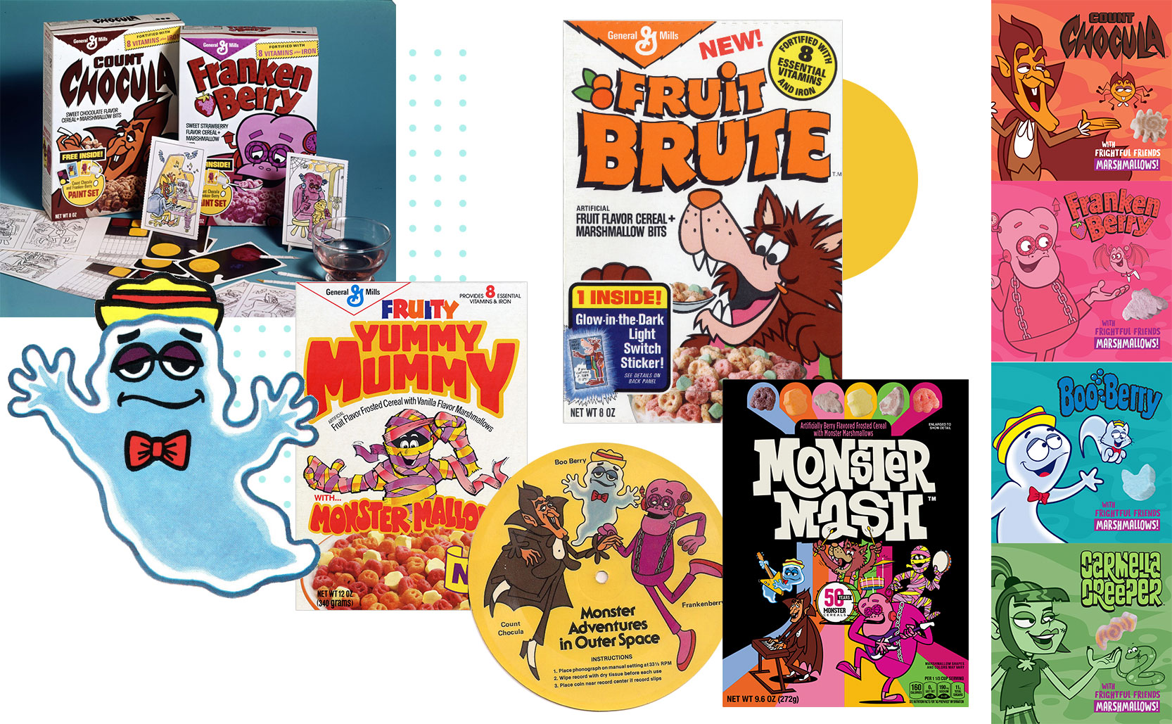
Count Chocula, Franken Berry, and Boo Berry have been the reliable trio of monster cereal flavors since the 1970s but other flavors have been tried. Frute Brute and Fruity Yummy Mummy have both been launched, discontinued, relaunched, and discontinued again over the years with their flavoring reconfigured at different times.
In 2021 to celebrate the 50th anniversary of monster cereals General Mills began selling “Monster Mash” boxes, which are a mix of the monster cereal flavors. In 2023 the zombie themed caramel apple flavored Carmella Creeper was released as the latest new monster cereal. Finally, monster cereals used to be available year round but in 2010 they became a seasonal product, rising from the darkness every autumn Halloween season (but you can search for them all year round).
Frankenstool
One curious side effect of the Franken Berry strawberry flavoring was realized in 1972 when a 12 year old boy was admitted to the hospital with pink / red poop. Documented by the University of Maryland Medical School the condition of “Franken Berry stool” was publicized in the paper “Benign red pigmentation of stool resulting from food coloring in a new breakfast cereal (the Franken Berry stool).” Later it was discovered that Boo Berry would change poop green.
The formulation of both cereals was eventually changed to avoid this.
Added info: altered stool is not unique to monster cereals. In 2003 Hershey’s released a green colored Hershey’s Syrup which supposedly produced green poop. In 2015 Burger King featured an all black bun for October, which resulted in turning some people’s poop green.